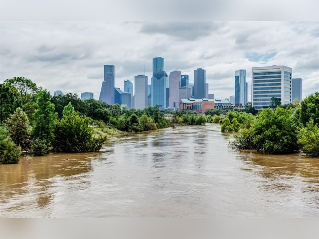
Redrawing Risk: What FEMA’s New Flood Maps Mean for Greater Houston
“Redrawing Risk” is a one-day conference exploring the real-world implications of FEMA’s updated flood maps, which were released in February 2026. It is co-hosted by Rice University's Baker Institute for Public Policy and Kinder Institute for Urban Research [https://kinder.rice.edu/]. The event is free and open to the public, with both in-person and livestream registration options available. Panels will explore on what must come next for the Greater Houston region after FEMA’s updated flood maps. They will unpack where the maps changed, how risk is measured, and what the new designations mean for homeowners, development patterns, infrastructure investment and the financial future of local governments. Follow @BakerInstitute [https://twitter.com/bakerinstitute] on X to join the conversation online with #BakerLive.

